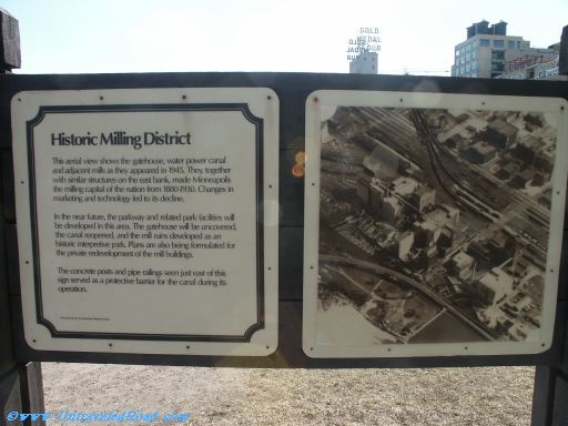
Historic Milling District
This aerial view shows the gatehouse, water power canal
and adjacent mills as they appeared in 1945. They, together
with similar structures on the east bank, made Minneapolis
the milling capital of the nation from 1880-1930. Changes in
marketing and technology led to its decline.
In the near future, the parkway and related park facilities will
be developed in this area. The gatehouse will be uncovered,
the canal reopened, and the mill ruins developed as an
historic interpretive park. Plans are also being formulated for
the private redevelopment of the mill buildings.
The concrete posts and pipe railings seen just east of this
sign served as a protective barrier for the canal during its
operation.