Entry Points:

About Anchorage
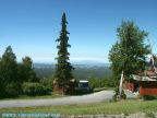
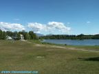
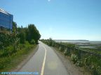
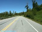
The Anchorage Borough covers 1,697 square miles of the southern central portion of Alaska, at the end of the Cook Inlet. The ocean forms its borders on three sides, with the Chugiak Mountains on the other. By land, the only access is by highway or railroad following the narrow space between the steep mountain sides and the water's edge. The Seward Highway heads southward, along the Turnagain Arm, and the Glenn Highway heads northward along the Knik Arm.
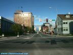
The City of Anchorage was settled in 1915 as a result of the planned construction of the Alaska Highway, which was completed in 1923. 264,937 people now live in Anchorage and the surrounding communities, as of the year 2000. Important military bases are located here, and it is a hub for tourism also.
Captain James Cook is credited with the discovery of Anchorage and naming the "River Turnagain" in 1778.